





GPS is a one-way broadcast: satellites send the time and your device works out where it is. Here is the mechanism, the history and the real accuracy numbers.
Understanding how GPS works takes one surprising fact: your phone never talks to a satellite. It only listens. Roughly thirty spacecraft circle the planet broadcasting the time and their own positions, and your device does the arithmetic. No signal goes up, no account is needed, and the satellites have no idea you exist.
That one-way design is the reason the system scaled from a few military users to billions of pockets. It is also the reason GPS can fail in ways that surprise people, from a dead zone in a parking garage to a blue dot that drifts across the river. The short history behind it explains a lot of the engineering choices.
What is GPS, exactly?
GPS, the Global Positioning System, is a satellite navigation service owned by the United States government and operated by the US Space Force. Its official name when it was chosen in 1973 was Navstar, which is not an acronym. The nominal constellation is 24 satellites, though around 31 have been operational in recent years, because spares are kept flying.
They travel in six orbital planes tilted about 55 degrees to the equator, at an altitude of roughly 20,200 kilometers (about 12,500 miles). One lap takes just under twelve hours. The spacing is arranged so that at least six satellites are above the horizon from anywhere on Earth, and with a clear view of the sky a receiver commonly sees nine.
GPS is one member of a family called GNSS, for global navigation satellite systems. Russia’s GLONASS, the European Union’s Galileo, and China’s BeiDou also give global coverage, and Japan and India run regional systems. A modern phone typically listens to several of these at once and merges the results.
How does a receiver find your position?
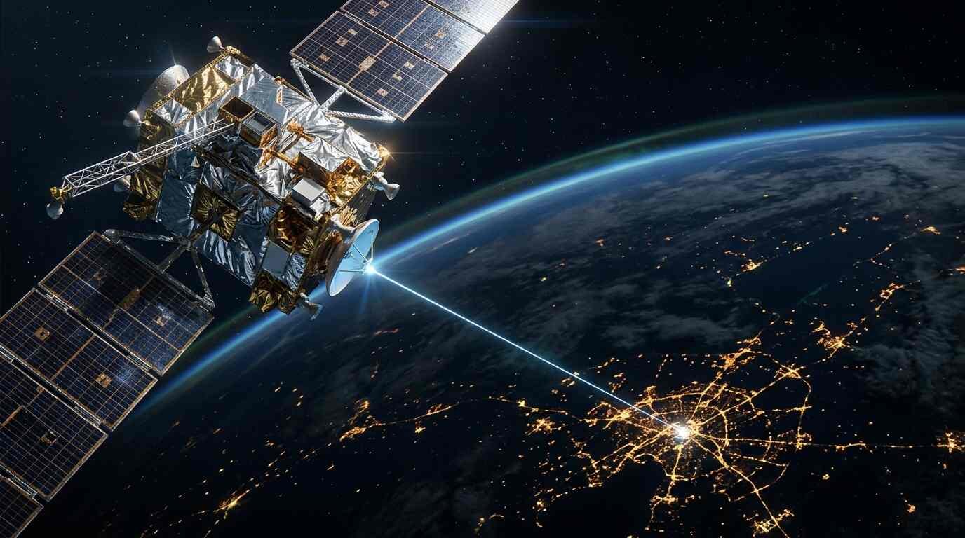
Each satellite carries an atomic clock and constantly broadcasts two things: where it is, and exactly what time it sent the message. Your receiver notes when the message arrives. The gap between the two times, multiplied by the speed of light, gives the distance to that satellite.
Distance from one satellite puts you somewhere on a giant sphere. Distance from a second narrows that to a circle where the spheres intersect. A third reduces it to two points, one of which is usually absurd (out in space, say), so the receiver discards it. In principle, three satellites would be enough.
In practice you need four. The reason is the clock inside your phone. It is a cheap crystal, nowhere near the atomic standard, and it is wrong by an unknown amount. A signal from directly overhead takes about 67 milliseconds to arrive, and light covers roughly 30 centimeters in a single nanosecond, so even a tiny timing error becomes a large position error. The fourth satellite lets the receiver solve for that unknown offset along with latitude, longitude, and altitude. Four equations, four unknowns.
This is why a GPS receiver is, in a quiet way, also an accurate clock. Many networks, power grids, and financial systems use GPS time for synchronization even when they never display a map.
Why does relativity matter to a navigation system?
Because the clocks are good enough to notice. Einstein’s theories predict that the satellite clocks run at a different rate from clocks on the ground: they tick slightly faster overall, by about 38 microseconds per day once the opposing effects of speed and gravity are combined. That is a minuscule amount of time, but the whole system depends on nanoseconds, so the correction is built into the satellites’ design and software. Left uncorrected, position errors would pile up quickly.
It is a rare case where an abstract physics result is part of a consumer gadget’s daily operation. It is also settled engineering rather than debate: the corrections are applied and the system works.
Where did GPS come from?
The idea grew out of earlier systems. The US Navy’s Transit satellites, first tested in 1960 with five spacecraft, let ships fix their position about once an hour, which suited ships but was too slow for most other uses. Another Navy program, Timation, proved that stable clocks could be flown in orbit, and put the first atomic clock into space in 1974. Ground-based radio systems such as LORAN and Decca filled in locally.
The Department of Defense launched the joint program in 1973. The first prototype satellite flew in 1978. The full 24-satellite constellation reached initial operational capability in December 1993, and full operational capability was declared in April 1995. The military was the customer, and for years the civilian signal was an afterthought.
Then came a tragedy. After Korean Air Lines Flight 007 was shot down in 1983 after straying into Soviet airspace, President Reagan directed that GPS be made available for civilian use once it was ready. That decision opened the door to aviation and shipping, and eventually to everyone else.
Did the military really make civilian GPS worse on purpose?
Yes, and the policy is documented. Selective Availability was a deliberate error added to the civilian signal that limited its accuracy to around 100 meters on average. The aim was to deny precision to adversaries. It was switched off in May 2000 under President Clinton, and consumer accuracy improved dramatically overnight.
The sources I read do not spell out every motive for the change, so treat any single explanation as interpretation. What is clear is that civilian use had grown fast, and that a 100-meter error had become a poor fit for the aviation, surveying, and commercial users who already depended on the signal.
How accurate is it today?
Official figures are more modest than the marketing, and also more honest. The performance standard for the civilian signal commits to a worst-case ranging accuracy of 7.8 meters at 95 percent confidence, which describes the error in the distance from a satellite, not what users see. Measurements of good single-frequency receivers by the Federal Aviation Administration show horizontal accuracy of about 2.2 meters or better, 95 percent of the time.
Phones are usually a bit worse than that, with typical outdoor accuracy of about five meters. The usual culprits are the atmosphere, which bends and delays the signal, anything that blocks the sky, and the quality of the receiver. Tall buildings add a particular problem: signals bounce off glass and concrete, so the receiver sees an echo that arrives late and believes the satellite is farther away. Navigation apps call this the urban canyon effect.
Newer technology is narrowing the gap. Receivers that can use a second and third frequency can correct for atmospheric delay and reach well under a meter, and survey equipment with correction services reaches centimeters or better. As of March 2026, 21 satellites broadcast the newer L5 signal, with a full set expected in 2027. A long-delayed upgrade to the ground control system, called OCX, was accepted in July 2025.
Does GPS work without an internet connection?
Yes. The satellites send their signals regardless of whether you have data, Wi-Fi, or cell service, and a receiver can calculate its position alone. What you lose offline is the map: the street names, traffic, and routing live on servers or in files stored on your device. If you download an offline map in advance, your phone can show you your position on it without any network.
There is one catch, and it explains why phones usually get a fix faster than a standalone handheld unit. Satellites transmit their orbital details at only 50 bits per second, so a receiver that has been off for a while and starts cold may need up to 12.5 minutes to gather them from the sky. Assisted GPS, or A-GPS, fetches that data from the network instead, which cuts the startup time to seconds. Without a network connection, your phone can still do the job; it just may need to wait longer for the first fix.
What can go wrong with GPS?
The commonest failure is simply a blocked sky. Beyond that, a few other things matter. Signals are weak by the time they arrive, and anything that drowns them out can cause errors, which is why jamming and spoofing, the broadcasting of fake signals, are concerns for aviation and shipping. Indoors and underground a receiver usually loses its fix, because the signal is not strong enough to pass through roofs and floors.
There is also dependence. A single government owns and operates the system, which is one reason other regions built their own. Having several independent constellations improves availability and gives receivers backups if one has trouble. That is an engineering argument for multi-system receivers, not a prediction that any of the systems is likely to fail.
And one more limit is geometric. When the visible satellites are bunched together in one part of the sky, the intersecting spheres cross at shallow angles and the fix gets sloppy, even if every signal is clean. Receivers estimate this effect and report it, which is why a phone in an open field with satellites spread across the sky does better than the same phone in a narrow street.
Common questions
How many satellites are needed for a GPS fix?
Four, to solve for latitude, longitude, altitude, and the receiver’s clock error. If you already know one of those values, such as altitude at sea level, three can be enough.
Does GPS track me?
The system itself cannot. GPS is receive-only, so the satellites do not know where any receiver is. Apps and services on your phone, though, may record and send your location using the position your device calculated, and that is a matter of their permissions and settings.
Is GPS free?
For users, yes. The US government funds and operates the system, and anyone with a receiver can use the civilian signals without a subscription. Phone data charges can apply to the map layer and assistance data, not to the satellite signal.
Why does my location jump around in cities?
Reflected signals. Buildings bounce satellite transmissions, so the receiver sometimes reads a delayed echo as the real thing and misjudges the distance. Your phone also mixes in Wi-Fi and cell data, which can pull the estimate in different directions.
Is GPS the same as a map app?
No. GPS only provides position and time. Map apps combine that with road data, traffic information, and routing software.
Who owns GPS?
The US government owns it and the Space Force operates it. Russia, the EU, China, Japan, and India run separate systems.
What to remember
GPS is one-way timing, not communication. Satellites with atomic clocks broadcast the time, a receiver compares four such signals, and geometry returns a position, within a few meters on a typical phone. The system grew from naval experiments in the 1960s and a military program launched in 1973, became fully operational in 1995, and lost its deliberate civilian degradation in 2000.
Most of the failures people experience have ordinary causes: a blocked sky, a cold start, a reflected signal, or a missing map. The satellites themselves are rarely the weak link.
Further reading
Short classic on the earlier fight to solve navigation at sea; loosely related. See it on Amazon (affiliate link)
As an Amazon Associate I earn from qualifying purchases. A commission may be earned if you buy through this link, at no extra cost to you.
Sources